Macclesfield
Cheshire
Contact : 07780947875
Terry.snape@googlemail.co.uk
See Further, Reach Higher: Unveiling the Potential with UAV Aerial Solutions across Cheshire
UAV Aerial Solutions: Where innovation takes flight, empowering businesses with the transformative power of drone technology. We are your one-stop shop for comprehensive aerial services, harnessing the unparalleled perspective of UAVs to unlock a new dimension of insights and possibilities.
Beyond the Eye: Go beyond traditional methods with our cutting-edge solutions, including:
- Precise 2D & 3D Modeling: Generate intricate, high-resolution models of roofs, landscapes, and infrastructure, ideal for planning, construction, and analysis.
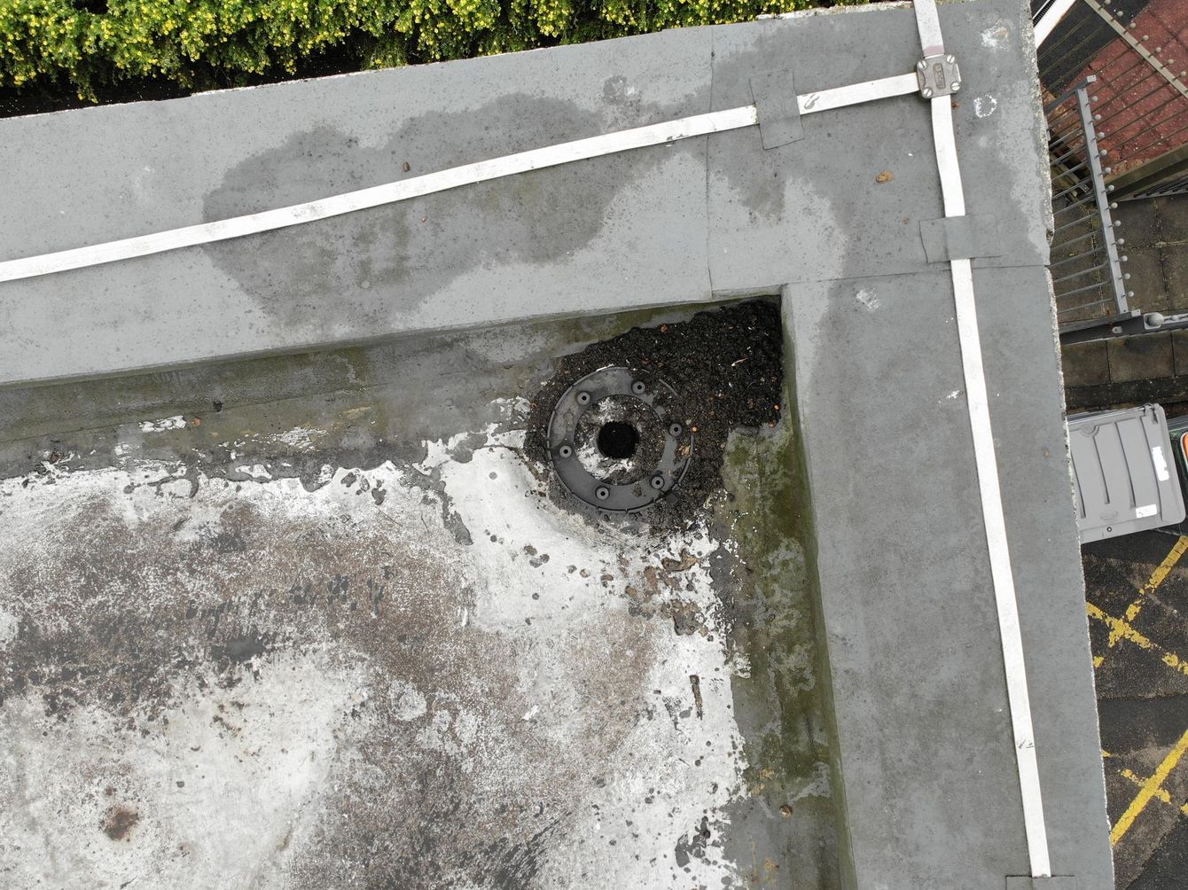
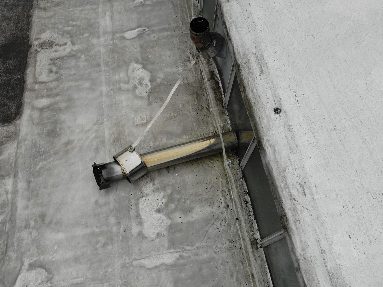
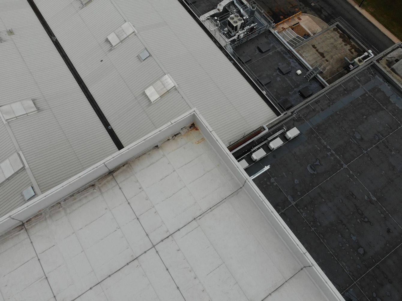
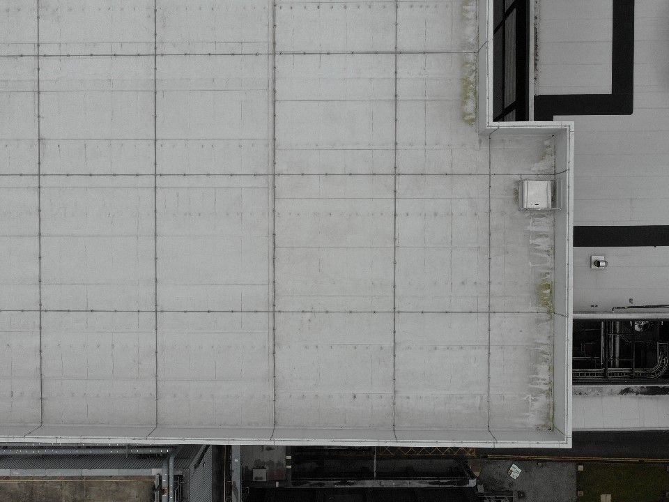
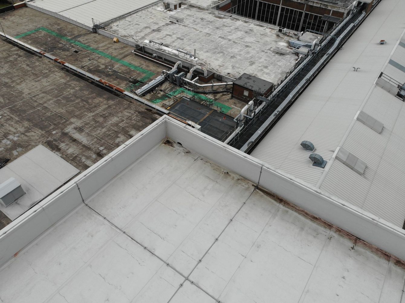
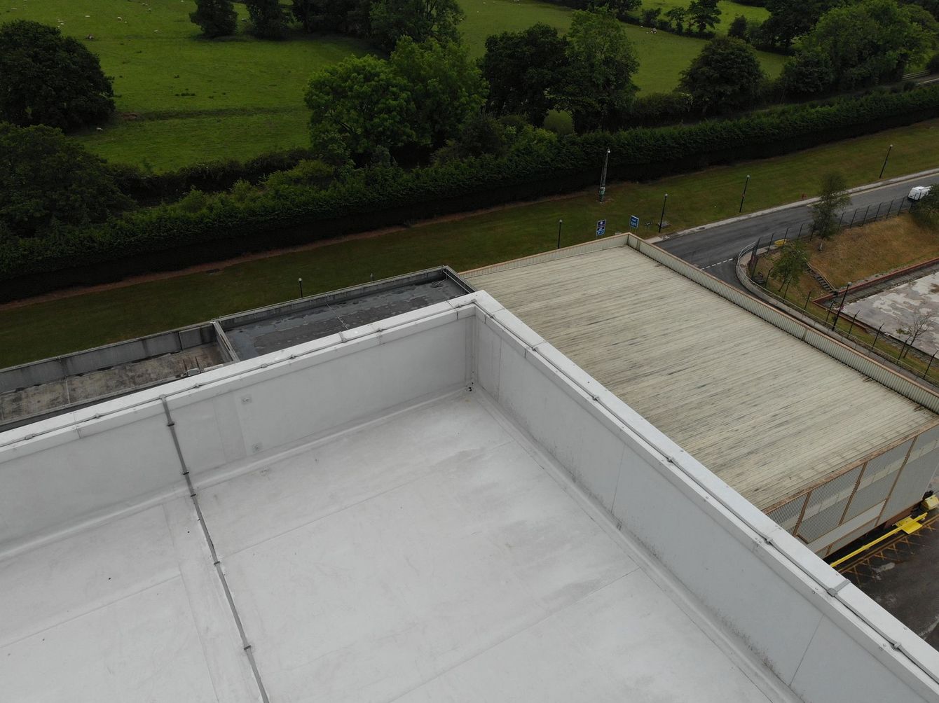
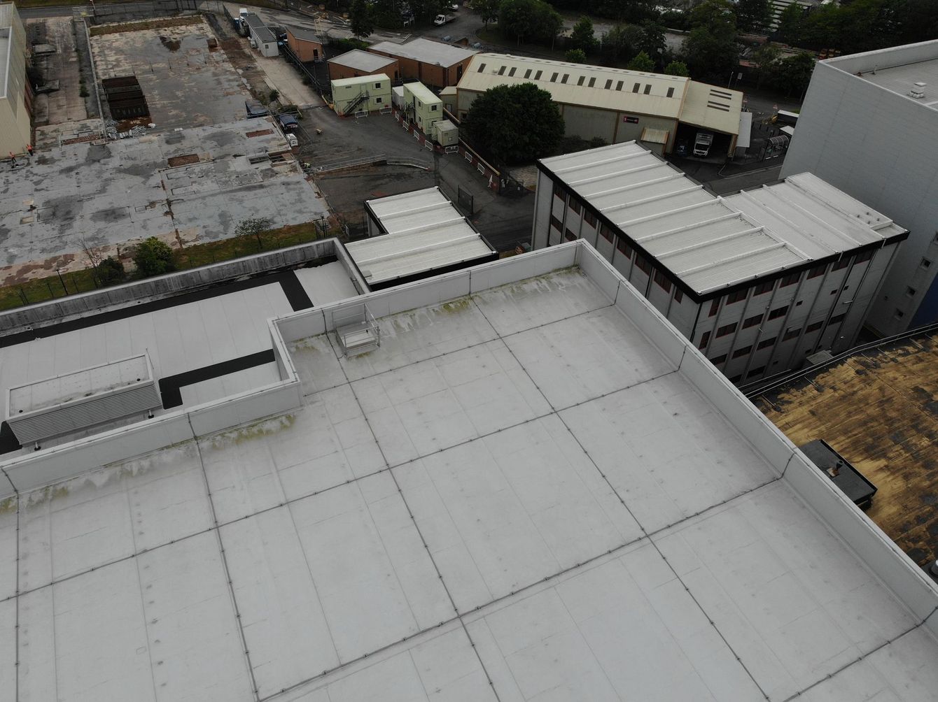
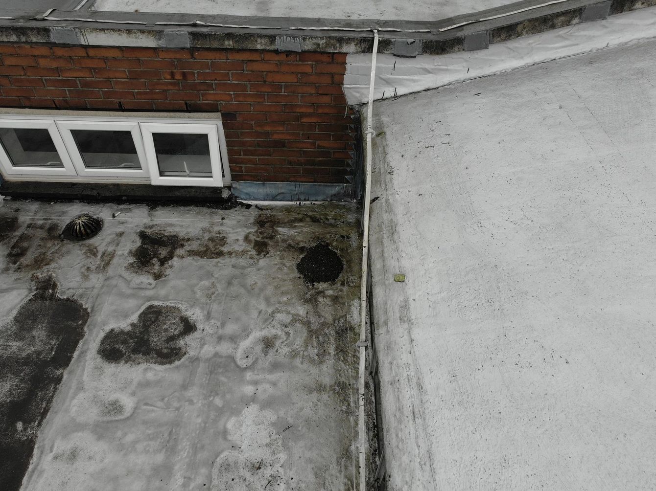
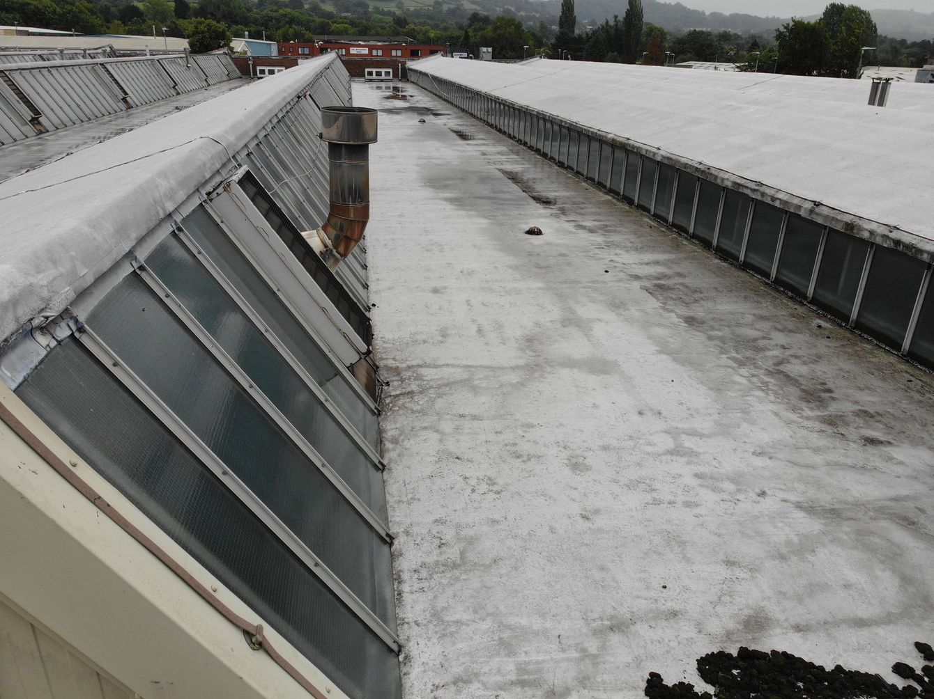
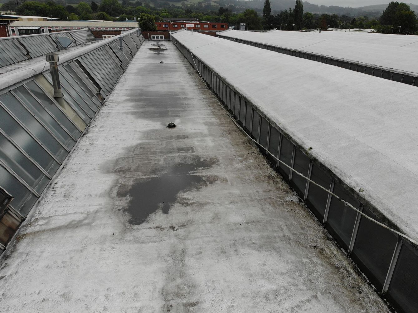
- Uncompromising Roofing Inspections: Identify even the subtlest roofing issues with expert drone inspections, ensuring proactive maintenance and cost savings.
- Comprehensive Full Surveys: Capture detailed aerial surveys of vast areas, encompassing everything from construction sites to farmland, streamlining workflows and data collection.
- Unwavering RTK Surveys: Achieve centimeter-level accuracy with our Real-Time Kinematic (RTK) surveys, ideal for demanding surveying and mapping applications.
- Visualize Progress in Real-Time: Monitor project progress effortlessly with regular drone-based updates, ensuring transparency and informed decision-making.
The Benefits Take Flight:
- Enhanced Efficiency: Streamline operations, reduce risks, and save time with faster data acquisition and analysis.
- Uncompromised Safety: Eliminate the need for risky manual inspections and access hard-to-reach areas safely and efficiently.
- Data-Driven Decisions: Gain invaluable aerial insights to make informed decisions, optimize processes, and maximize returns.
- Exceptional Cost Savings: Reduce overall project costs by minimizing risks, optimizing timeframes, and improving resource allocation.
- Sustainable Solutions: Minimize environmental impact with our eco-friendly drone technology, reducing carbon footprint and promoting responsible practices.
Soar to New Heights:
Partner with UAV Aerial Solutions and unlock the transformative power of drones. Contact us today to discuss your unique needs and experience the difference aerial innovation can make.
Together, let's take your vision to new heights.
- RTK Mapping
RTK drones provide a high level of survey-grade accuracy and demand fewer or almost no ground control points and improve mapping efficiency in different aspects. For many industrial clients, the massive accuracy boost of RTK technology is considered priceless. Massive construction plans or contracts can be heavily affected by a few meters error in measurement. We are using the latest DJI base station to create both 2D & 3D mapping which will give you 1-3cm accuracy.
- 3D Model
Interactive, georeferenced 3D models provide valuable insights. They can be used to conduct calculations and for remote inspections.
These digitised models can be used for CAD and BIM-related purposes, something which is at the forefront of modern construction.
- 2D Map
List Item 4
Detailed 2D orthomosaic maps can be utilised across a range of industries, including construction and infrastructure.
These maps - containing a vast collection of high-resolution imagery - provide an accurate and up-to-date real-world view, helping rapid decision-making and analysis.
Use them to spot mistakes, monitor progress, use them as a CAD overlay, and conduct urban or public safety planning.
Contact Us
Current Services
Roof Inspections – Commercial & Residential
Orthomosaic Mapping
3D Modelling
RTK Mapping
Aerial Photography/Videography
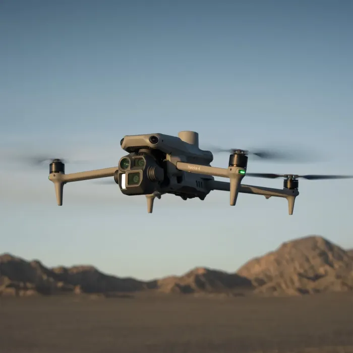
Current Project Drones
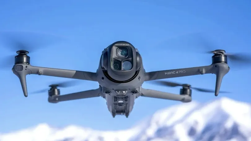
What our business is about
At UAV Aerial Solutions, we provide a professional and reliable drone services for various applications. Whether you need RTK Mapping, Aerial surveys, , 3D mapping, or 2D mapping, we have the expertise and equipment to deliver high-quality results. Our drone operators are certified and insured, and our drones are equipped with advanced sensors and cameras to capture accurate and detailed data. We can help you with projects such as land surveying, construction monitoring, inspections, and more. We have 8 years’ experience in flying the UAV systems. We also have 35 years’ experience in Safe Systems Of Work, Risk Assessments. Our Current client who we are currently working for the last 3 years is a large pharmaceutical company in Cheshire managing roof maintenance strategies for over 100 building on Campus.
Contact us today to get a free quote and see how we can help you with your drone needs.
